Increased prospecting will provide a better picture of the orebody
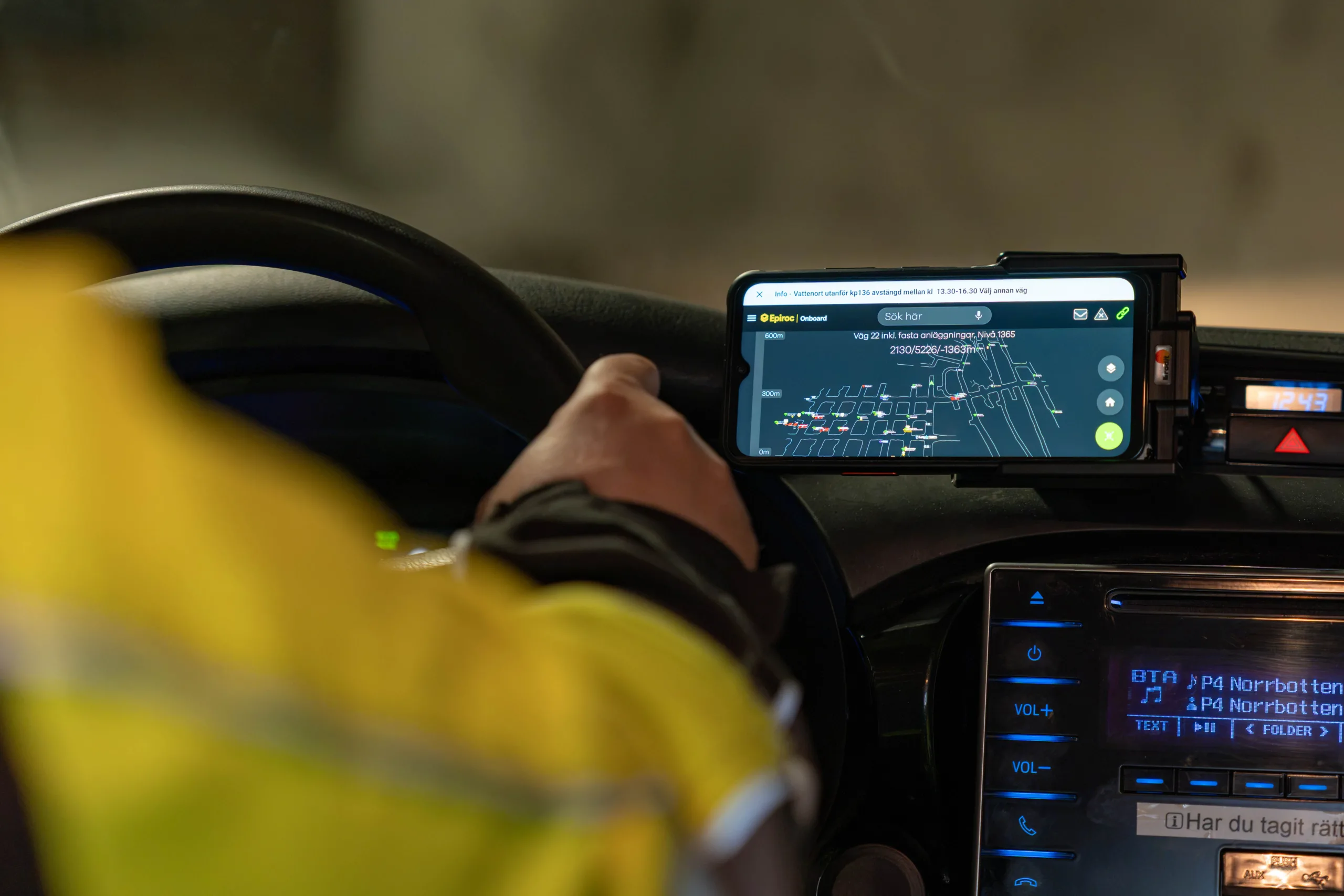
New knowledge of the extent of the mineralisation at depth means that LKAB is now placing major emphasis on prospecting to secure future volumes."We will study the nearlying area using several methods concurrently, but it will still take two to three years before we have a clear picture," says Pierre Heeroma, Senior Vice President for Exploration, Strategy and Business Development.
To increase knowledge as to how the mineralisation continues to the north and at depth LKAB will use a range of different methods. This will involve driving drifts from which drilling can be done, as well as drilling from the surface. In addition, aerial magnetic surveys and studies to to see if there are good electrical conductive bodies in the rock to the north of the known deposit will be conducted.
“Underground, we will drive a drift northward from the 1365 level, towards Luossavaara, and what we refer to as the Per Geijer ores east of Luossavaara. From there, we will drill into both deposits and towards the northern part of the Kiirunavaara deposit. Driving the drift will take about a year,” explains Pierre Heeroma.
With the aid of electrical current it is possible to see if there are any good conductivities, such as iron ore, in the bedrock, and get a reasonable estimation of the orientation of such conductivities. The technique is known as mise-á-la-masse. In simple terms, a current electrode is placed in a borehole and a second electrode is placed in the ground at some distance from the first. Direct current is then applied and the resulting electrical potentials are measured in different directions.
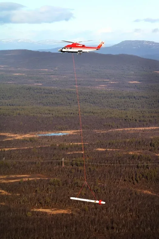
“We have also begun an aerial magnetic survey, mainly of the Per Geijer ores, and of Luossavaara. This is done with a helicopter equipped with an instrument that can see deviations in the electromagnetic field, so-called anomalies, down to between 500 and 1000 metres, depending on local conditions. This can indicate whether there are any conductive bodies, such as iron ore, but these must always be verified by drilling into the anomalies,” says Pierre Heeroma.
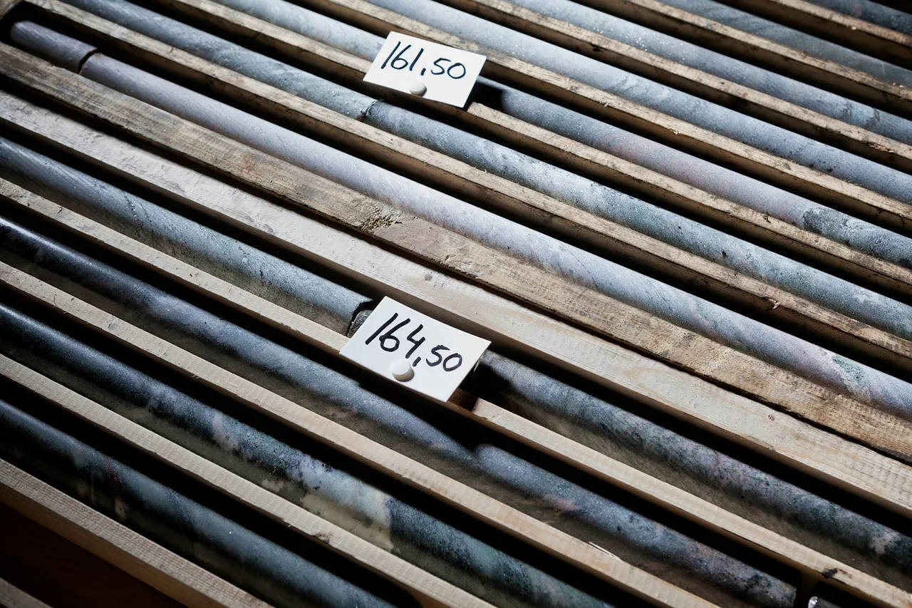
Therefore, test drilling from the surface is also planned. The idea is to map a profile between Kiirunavaara and Luossavaara to determine the geological relation and see if there is any iron ore.
“I think many Kiruna residents have looked at the slopes and shapes of the old open pits in the two mountains and asked themselves, ‘I wonder if they join together somewhere underground?’. We now hope to get an answer to that question,” says Pierre Heeroma.