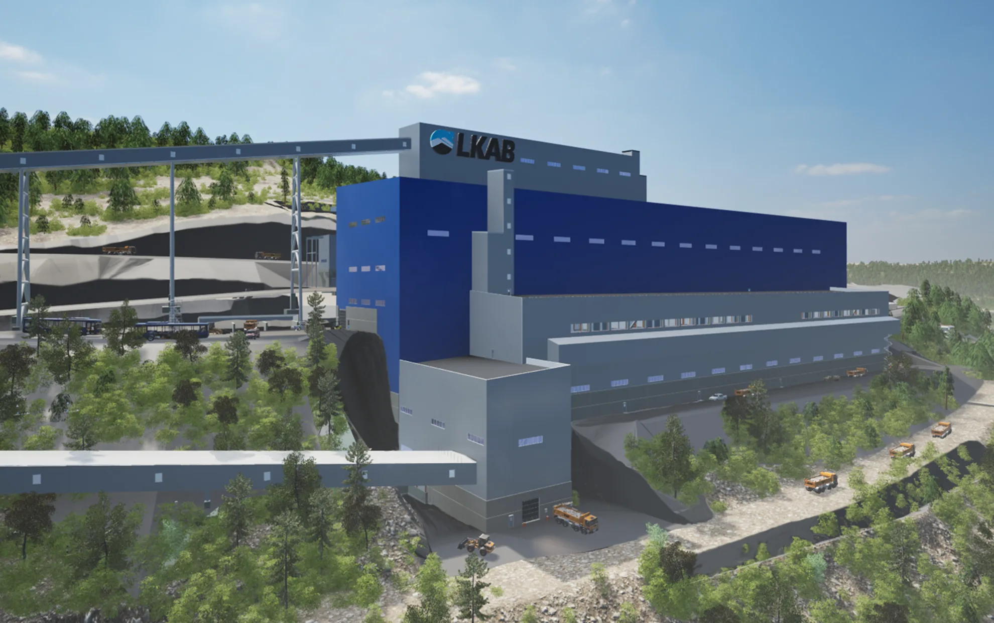
Scanning the Kiruna mine
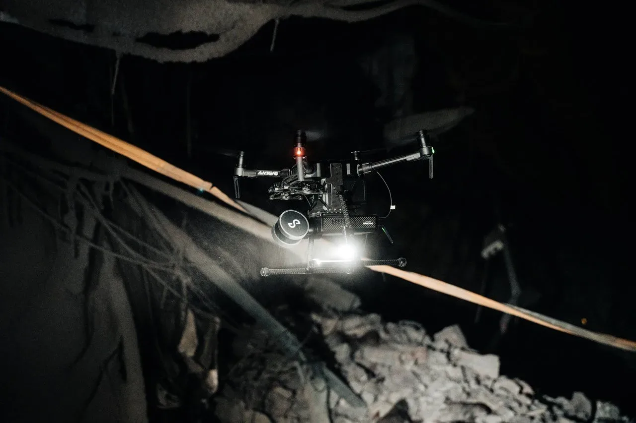
Safety must always come first. Therefore, much of the area affected by seismic activity in the mine is being surveyed with the aid of drones and scanners. "This is a safe and efficient way to work. No one carrying out inspection work will be exposed to any kind of risk," says Per Brännman, section manager for sublevel caving at LKAB in Kiruna.
Inspection following the major seismic event in the Kiruna mine continues. Principally, this involves surveying the damage to obtain a solid, reliable basis for decision-making with respect to, for example, rock reinforcement. “The drone is good tool, but the scanner is truly revolutionary. The drone is actually only the vehicle that carries the equipment,” says Per Brännman.
In terms of safety and technology, use of drones and scanners represents a major step forward. It is also a very effective means of investigating difficult-to-access areas, ore passes and areas affected by rockbursts. “For example, we have been able to look at one of our loaders which sits in an area that cannot yet be accessed physically,” adds Per Brännman.
Bat technology
Drones and scanners can be made ready for deployment in barely 15 minutes. The technology is very precise, functioning well without detailed instructions from the pilot. “It works much the same way a bat navigates. The scanner helps us to form a wide picture of the area that is very useful in our work,” says Mirjana Boskovic, seismology specialist at LKAB in Kiruna.
In the same way as a bat navigates with sound waves, the drone finds its way around using so-called echolocation. And, like a bat, a drone equipped with a scanner can navigate in its surroundings while avoiding obstacles with precision. This means that a scanner-equipped drone can fly into into very confined, difficult-to-access damage areas which no personnel can enter. “There are many advantages with this type of technology, particularly in terms of safety. When we inspect an area we have to consider seismicity, the condition of rock and safety in an area. That’s the first step of our work. With this technology, we don’t even have to enter an area,” says Mirjana Boskovic.
A wide picture
Film sequences from the affected areas can be stored and used over the long term to discover changes in, for example, structures. The sequences can also be successively compiled to form a single, large model of the mine. “The rockbursts that we have discovered with the help of drones are to be expected after this type of event,” explains Mirjana Boskovic. Material from the drone flights is already being analysed, which means that damage survey can be done more efficiently, more safely and faster than before.
Ongoing inspection
In just over a week much of the mine, from Y15 to Y31, has been scanned. The inspection area covers about 1.5 kilometres and includes several levels and production blocks. However, it has not been possible to inspect block 22, the part of the mine that was the epicentre of the event. “At this point, everything that we have been able to scan has been covered and, looking forward, we will be able to start scanning the ore passes,” says Per Brännman.This means that, in all, some 13 kilometres of ore passes will be investigated in detail this summer.”We have seen fantastic commitment and willingness to help on the part of so many people. About 15 people have been involved in conducting the flights and measurements,” says Per Brännman. The scanner is definitely here to stay and will be used for a range of purposes in the future. This is a major step forward for safety in conjunction with inspection of affected areas of the mine.