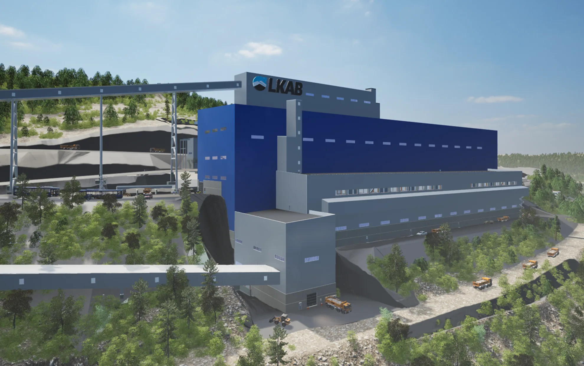
Geophysical surveys reveal tomorrow’s ore deposits
Using a helicopter-borne survey instrument, the hunt for orebodies now takes place from the air around 90 metres above the ground. The method is unique and was conducted as a research study – one that can help safeguard LKAB's future.
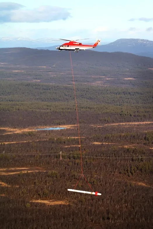
A helicopter flies past 90 metres up with an object that resembles a rocket suspended beneath it. The rocket is a survey instrument. During a week in October, the helicopter flew in the Luossavaara area near Kurravaaravägen in and around the Varggropen/Nukutus outdoor leisure area and Lake Tuollujärvi.
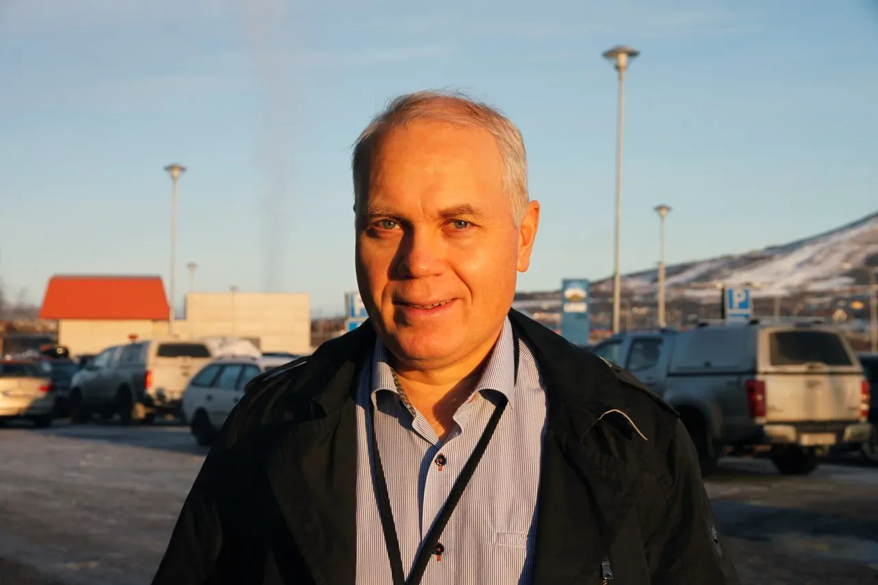
The purpose was to test a new survey system for ore deposits. The surveys are a collaboration between LKAB, the University of Münster in Germany and Luleå University of Technology, LTU.”I first met the survey system project group at a conference in Germany two years ago. I suggested they carry out test surveys on the Per Geijer or body in Kiruna, which is a good survey area,” says Niklas Juhojuntti, geophysicist at LKAB.
Representatives from LKAB went to Germany in the beginning of 2018 for a meeting with the project group. Planning began directly afterwards.”In October, once all our applications were granted, we were at last able to carry out the flights. Around 15 people from Germany came to Kiruna, and they were joined by scientists and students from LTU,” says Niklas.
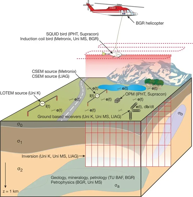
The area surveyed was around 40 square kilometres, but to weeks’ preparation were necessary before flying could begin. First, a two kilometre cable was laid out in various places in the terrain. Iron digging bars for conducting electrical current into the earth were attached to each end of the cable.”It creates an electromagnetic wave that emits a signal that penetrates the ground. The signal is captured by sensors in the survey instrument suspended beneath the aircraft,” Niklas tells us.
Based on the aircraft test results, the project group in Germany will put together a three-dimensional model which will hopefully reach down to a depth of around one kilometre. The survey results will show if there are any electrical conductors, which could be an orebody.”If this is the case, we will have to drill to find out more precisely what it is. Magnetite is a great conductor,” says Niklas.
LKAB anticipates the results from the aerial survey in January or February 2019 at the earliest. Scientists from LTU will also compile the results from surveys carried out on the surface.”By piecing together all of the results we can gain a better picture. From what we’ve seen so far, all the survey data looks good and provided a clear signal,” says Niklas.
LKAB took care of certain parts of the logistics in Kiruna, but the research project paid for the surveys.”They wanted to demonstrate that there survey methods work, and now they’ve been able to fly in an area where we know mineralisation is present. In Germany, it’s not as easy to find areas like this, and nor is everyone there quite as well disposed toward this method. They were extremely pleased with the Kiruna residents, who left their equipment well alone. They enjoyed a great reception by the people out in the field,” says Niklas.
The results from the flights can help LKAB in its hunt for new orebodies and create a more secure future.”I’m hoping this method will allow us to detect any indications concerning unknown major orebodies at depth. We still haven’t done much work at depth north of Nukutus,” says Niklas Juhojuntti.